

Drone Mapping & Imaging Services
Blackreach Industries provides high-resolution aerial imagery, mapping, and data capture services. We specialize in collecting accurate visual and spatial data that professionals can use for planning, documentation, and analysis. Our aerial data solutions help contractors, developers, property managers, and infrastructure teams improve project visibility, documentation, and decision-making.
Our Services
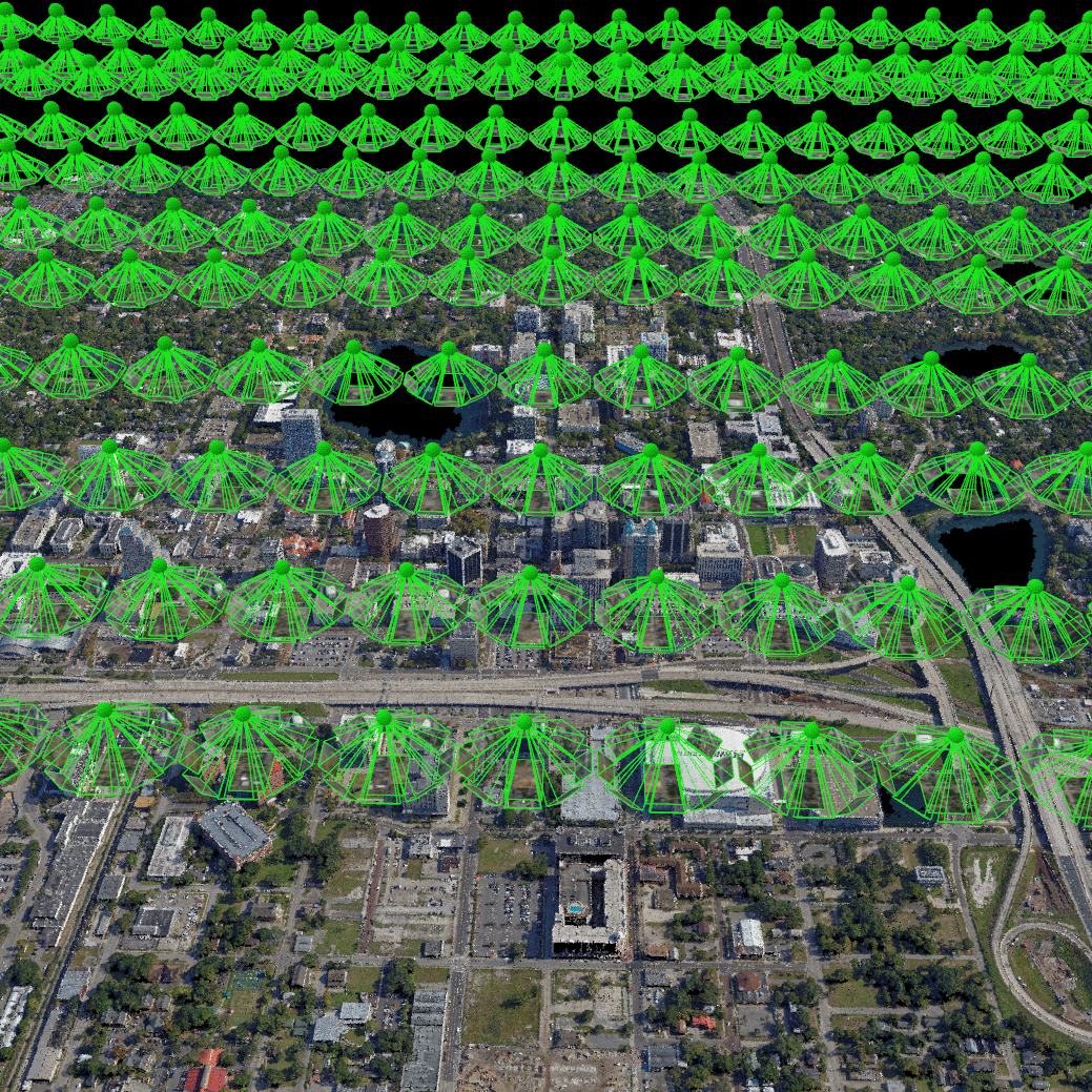
Aerial Mapping & Data Capture
High-resolution aerial mapping used to create accurate site maps, models, and measurable data. Our drone mapping captures detailed imagery that can be processed into orthomosaic maps and elevation models for planning, measurement, and site analysis.
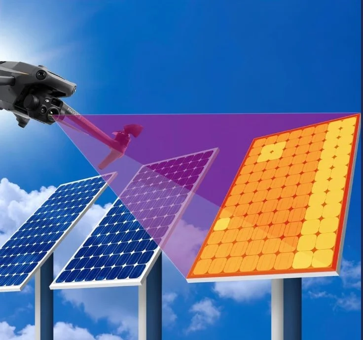
Thermal & Infrastructure Imaging
Thermal and high-resolution aerial imaging used to detect heat anomalies, identify solar panel defects, and locate areas of wasted energy. This technology helps reveal issues in infrastructure and electrical systems that are not visible during standard inspections.
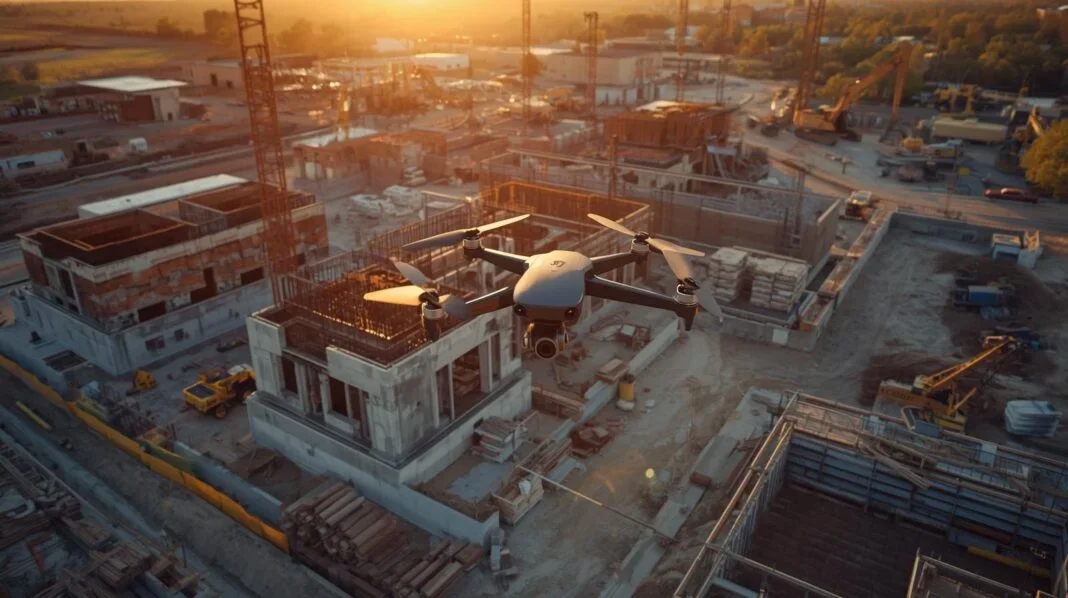
Construction Progress Documentation
Consistent aerial documentation used to track project progress, verify milestones, and maintain visual records throughout a construction project. Regular flights provide clear site updates for project teams and stakeholders.

Pre & Post Disaster Documentation
Rapid aerial imaging used to document damage after storms, floods, or other disaster events. High-resolution visuals provide clear documentation to support insurance claims and recovery planning. Pre-disaster aerial imaging can also be conducted before major weather events to document site conditions for specific areas or upon request.
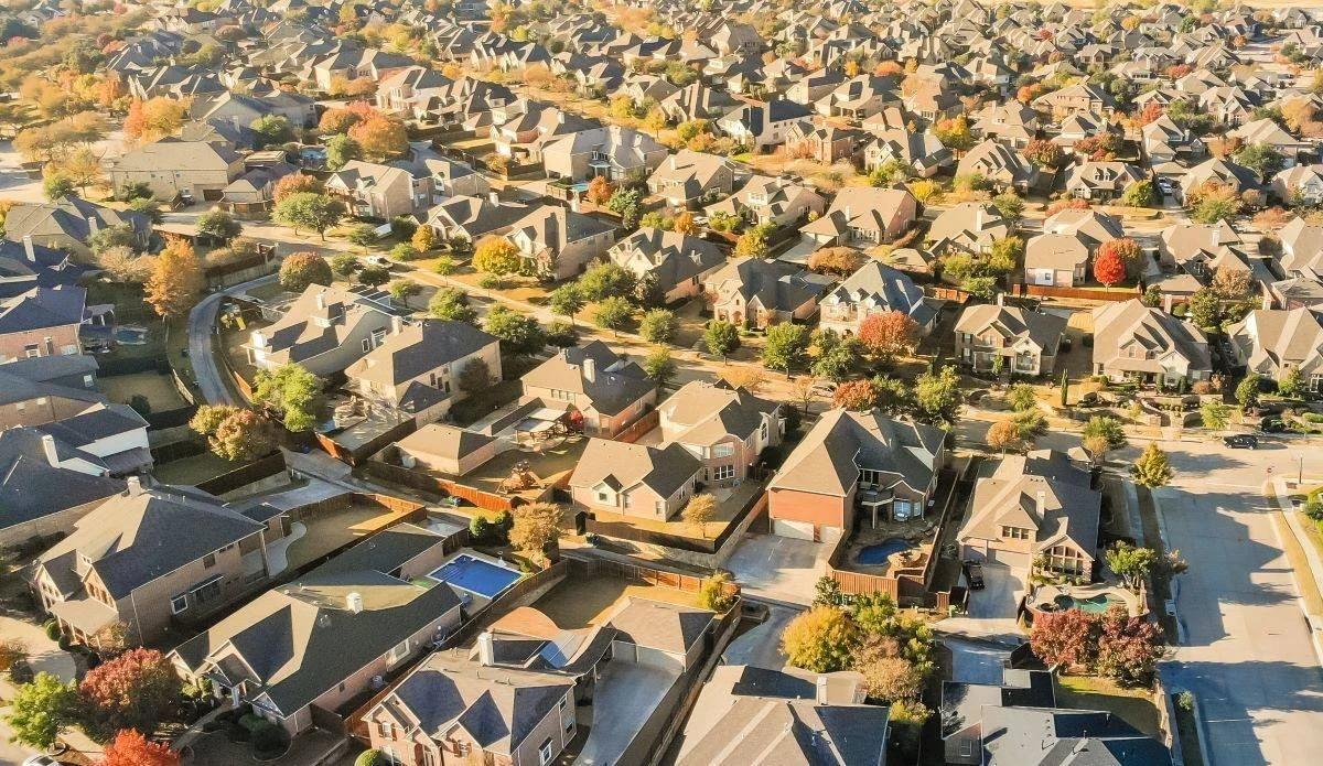
Residential & Neighborhood Mapping
Aerial imaging for residential properties, providing clear views of roofs, structures, and land areas that are difficult to inspect from the ground. Ideal for property documentation, maintenance checks, and insurance records.
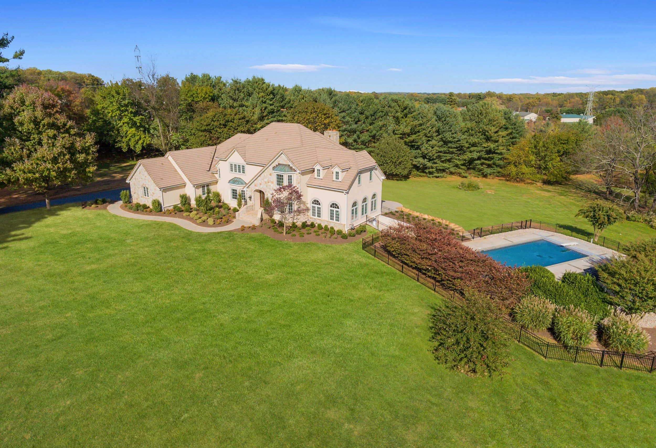
Real Estate & Property Photography
Professional aerial photography and video used to showcase properties and surrounding features. Drone imagery helps listings stand out while giving buyers a better understanding of the property layout and location.
Project Deliverables
Orthomosaic maps
High-resolution aerial imagery
Thermal imaging datasets
Construction or site progress documentation
Georeferenced imagery (when required)
Project analysis reports (including flight conditions, environmental data, and identified anomalies)
Raw image and data files (available upon request)
All deliverables are provided as organized digital datasets and reports suitable for documentation, reporting, and operational review.
Request a Quote
Tell us about your project and we’ll provide a custom aerial mapping or imaging proposal.